The family’s roadworks investigation
Lethal road works
The family’s description and questions
Factual record. No finding of causation or responsibility is made here.
The open drain
A visible pipe or channel is a reason to ask how water was meant to move. It is not proof, from a photograph alone, that the drain was new, unfinished, unsafe or connected to the collision.
What the photographs preserve
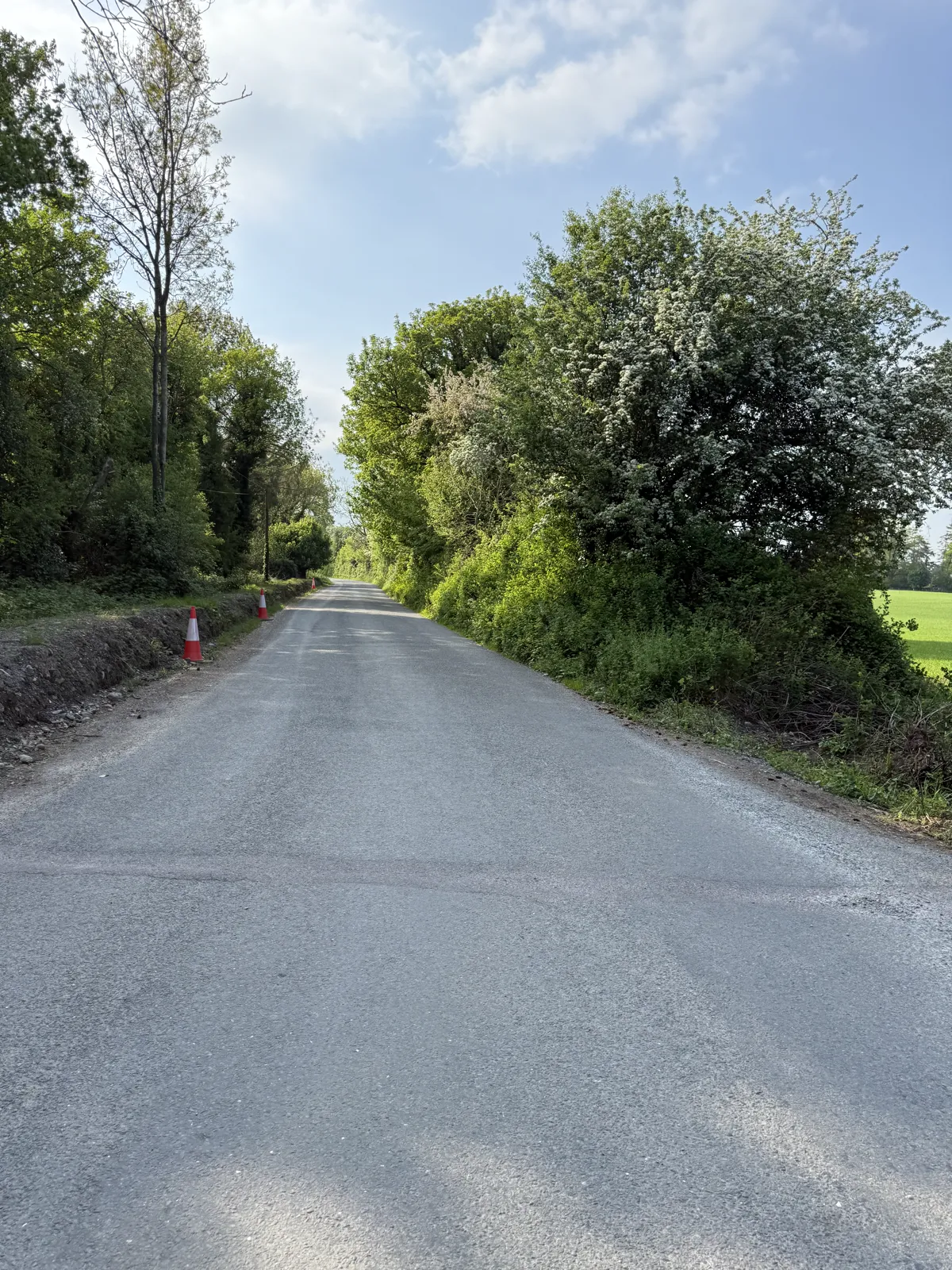
The later family photographs preserve a visible pipe or drainage feature beside the road edge. They can help establish the feature’s location and appearance when the photographs were taken. They cannot establish its installation date, bedding, cover, outfall, capacity or maintenance history without the project file.
Follow the water
A proper investigation follows a possible water path from source to destination: the bank or verge, the channel or pipe, the outfall, and any point where water could reach the live lane. Rain can detach material and flowing water can transport it, but a rain total does not prove delivery of soil to the road.
The public soil and drainage material is a guide to questions, not a site-specific finding. Colour is not a soil test, a nearby gauge is not a bank-moisture measurement, and a later photograph is not a record of the road surface at 22:00.
The records needed
The highest-value records are the dated work order, job card, crew diary, pipe purchase or delivery record, drainage detail, traffic-management plan, inspection sheets, completion record and any contemporaneous photographs for the relevant road and chainage. Those records can distinguish inlet cleaning, a new installation, a later repair and a separate road scheme.
A pipe can look modern or clean in a later close-up without proving when it was installed. The decisive questions are where it was recorded, what it was intended to do, whether the trench was inspected before backfill, and who accepted the finished work. A public guide can explain those questions without deciding the answer.
That is why the next step is documentary: identify the job, map its limits, and match the visible feature to the original record before drawing a conclusion.
Scroll horizontally to read this table.
| Drainage element | How a controlled operation should be managed | What the available records and images can and cannot establish | Records to review |
|---|---|---|---|
| Function and water path | Identify the catchment, inlet/channel, carrier pipe, outfall and maintenance responsibility; confirm the intended route and protect the live lane from uncontrolled discharge. | A visible pipe or channel beside the road is a reason to trace the route, not proof that it was new, open, blocked, unsafe or connected to the collision. | Drainage design; route and chainage; levels/gradients; outfall ownership; inspection and maintenance records; contemporaneous photographs. |
| Pipe bedding and surround | Install the specified pipe on approved bedding with side support, surround and joints; inspect the trench before concealment and record deviations. | The later pipe mouth cannot reveal hidden bedding, surround, trench condition, depth or workmanship. No exact trench depth is stated. | Approved detail; pipe certificate and delivery docket; trench/bedding inspection; pre-backfill photographs; hold-point release. |
| Backfill and cover | Place and compact backfill in the specified manner, maintain the approved cover and protect the carriageway/verge interface; record testing where specified. | A later surface view cannot establish cover, compaction, load capacity, date or whether the pipe was already present. | Backfill/compaction records; as-built levels; survey; testing; reinstatement and handback photographs. |
| Inlet, headwall and outfall | Provide the approved end treatment, scour/erosion protection and maintainable outfall; ensure discharge does not undermine the bank or run across the carriageway. | An apparent lack of a headwall or a dark/silted invert in a later image is not a verified design or breach finding; the frame may not show the full arrangement. | Approved headwall/end-treatment detail; outfall inspection; maintenance responsibility; erosion-control records; as-built survey. |
| Sediment and rainfall response | Divert clean water where practicable, intercept/settle dirty water, inspect controls after the plan's trigger and repair before reopening or handback. | The held rain total is a gauge-window measurement, includes post-collision time, and is not a bridge measurement or proof of sediment transport. The five-day growth estimate is inconclusive. | Weather and trigger log; inspection sheets; silt-control maintenance/disposal record; outfall photographs; incident and corrective-action log. |
| Inspection and acceptance | Record the responsible competent person, trench hold point, pre-opening check, changes to the design and final acceptance/maintenance handover. | The held material does not establish who made the relevant design, inspection or handback decisions. | Named appointment; inspection/hold-point releases; change orders; defects and close-outs; completion certificate; maintenance plan. |
Factual record. No finding of causation or responsibility is made here.