The family’s roadworks investigation
Lethal road works
The family’s description and questions
Factual record. No finding of causation or responsibility is made here.
Lethal road works is the family’s description of the concerns raised by the road edge, bank and drainage evidence. It is not a finding of causation or responsibility.
Scroll horizontally to read this table.
| Point | Observed | Unknown |
|---|---|---|
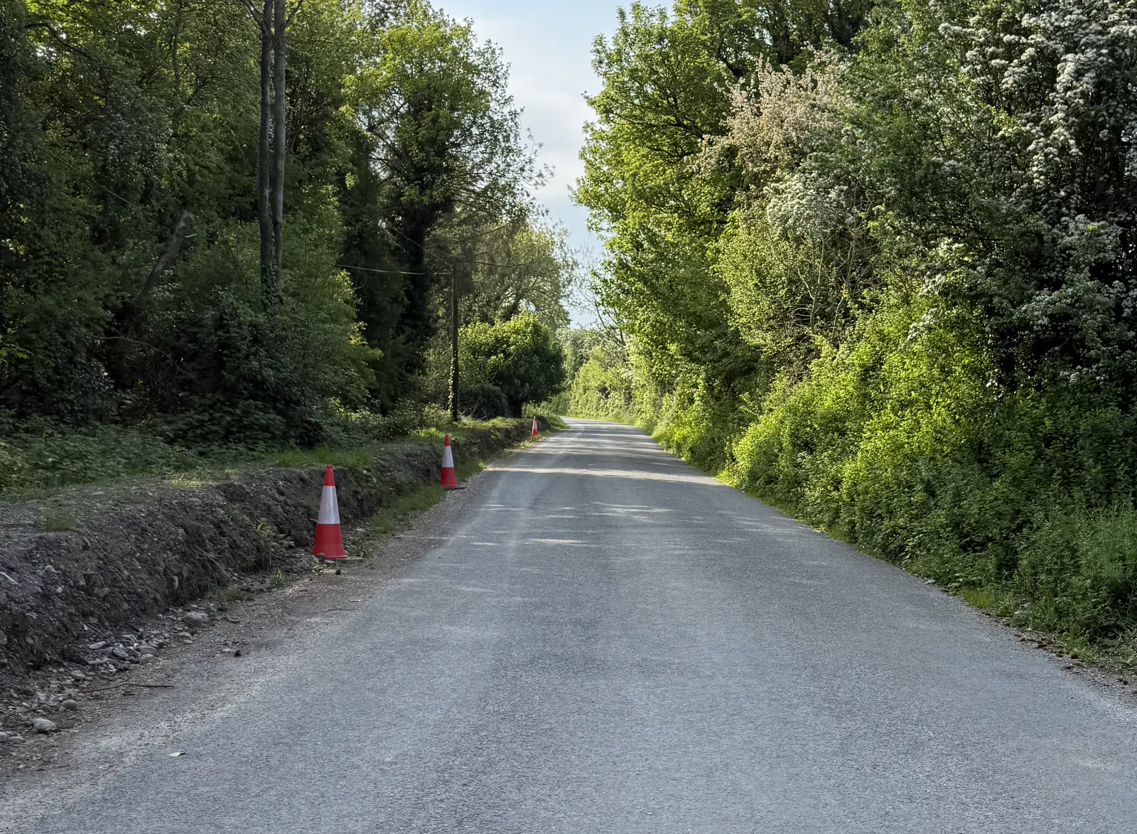
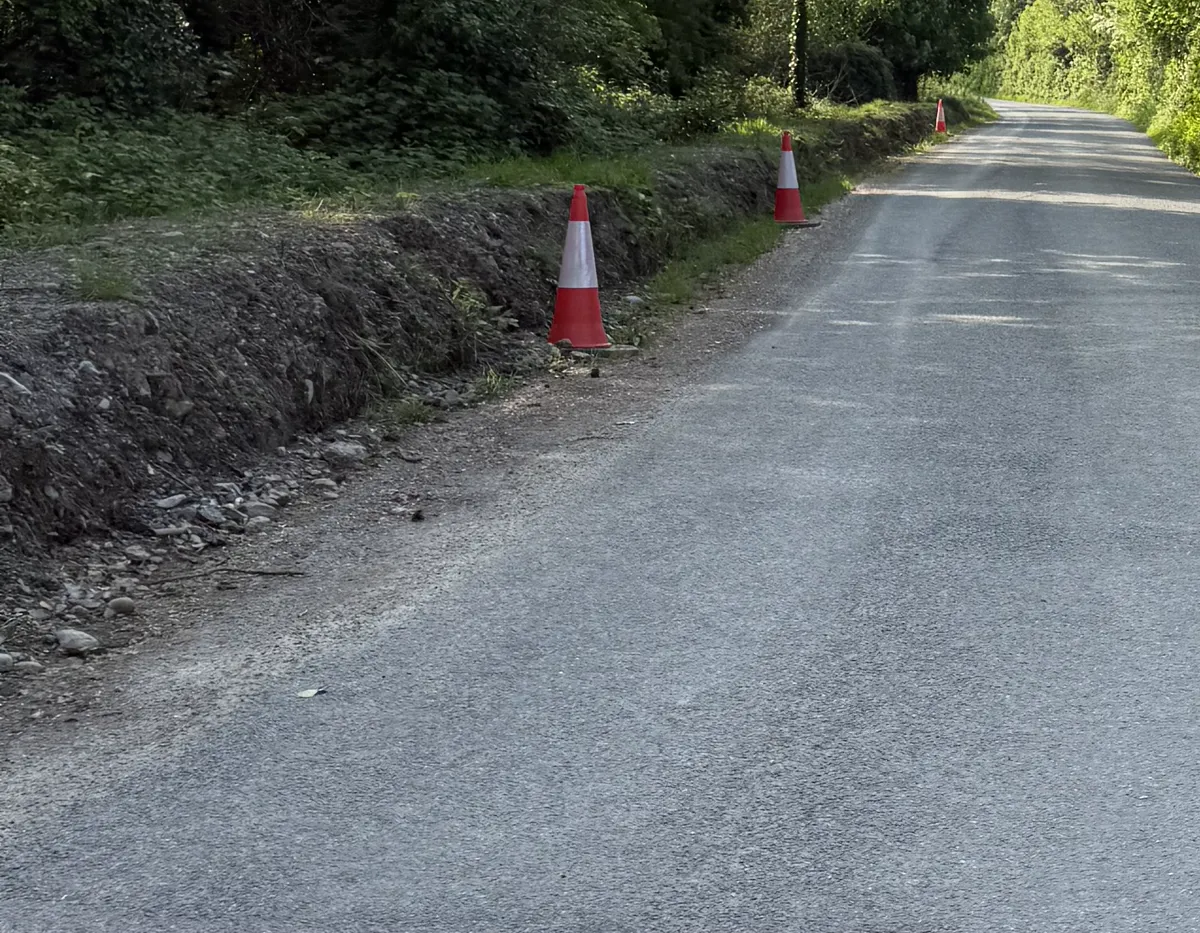
| 1 May photographs | The public article presents dated family photographs showing the bank, road edge and drainage or pipe features in that later view. | Exact works date, hidden construction details and collision-night condition. |
| Grass estimate | The family describes approximately five days of visible grass growth as an estimate. | A precise growth clock, species method, baseline and works date. |
| Rain | Toureen is identified in the held analysis as CAHIR (Toureen), source file dly9312.csv; the public Met Éireann CSV row is 21.5 mm for the 09:00–09:00 UTC window labelled 24 April. | Rainfall intensity or exact pre-crash amount at the bridge. |
| Bridge condition | The public inspection summary quotes downstream capping as ‘partly removed’ with other recorded damage. | The whole parapet or wall cannot be described as absent from that wording. |
| Works date and responsibility | The public record contains the family photographs and a Council-stated account of drainage and roadworks locations. | A dated order proving the photographed works occurred on 24 April or establishing sole Council causation. |
What is recorded
Family photographs dated 1 May 2025 show a bank, a pipe or drainage feature and the road edge as they appeared in that later view. They are a record of that scene, not a dated work order.
A Cahir (Toureen) gauge recorded 21.5 mm in the Met Éireann rainfall window labelled 24 April. That window ran from 09:00 UTC on 24 April to 09:00 UTC on 25 April, so it includes time after the collision. It is a cumulative gauge total, not rainfall intensity at the bridge.
- The 21 January inspection extract records downstream capping as ‘partly removed’, alongside missing stonework and a wall collapse.
- The whole parapet should not be described as absent on that wording alone.
What remains open
The available material does not verify that the photographed works were carried out on 24 April, does not establish the exact grass-growth interval, and does not establish what signs, lighting or guarding were present at the scene that night.
The family’s estimate of approximately five days of visible grass growth is retained as an inconclusive estimate. It is not the seven-day calendar interval between 24 April and 1 May, and it is not a precise works clock.
Follow the record
The linked pages separate the bank evidence, drainage questions, date audit, safe-work standards and the later walkthrough. Each page identifies what a photograph or public record can show and what requires the original works file.
The purpose is not to supply a verdict in place of those records. It is to keep the family’s question visible while preserving the difference between an observation, an estimate, a formal record and an unanswered date.
Factual record. No finding of causation or responsibility is made here.